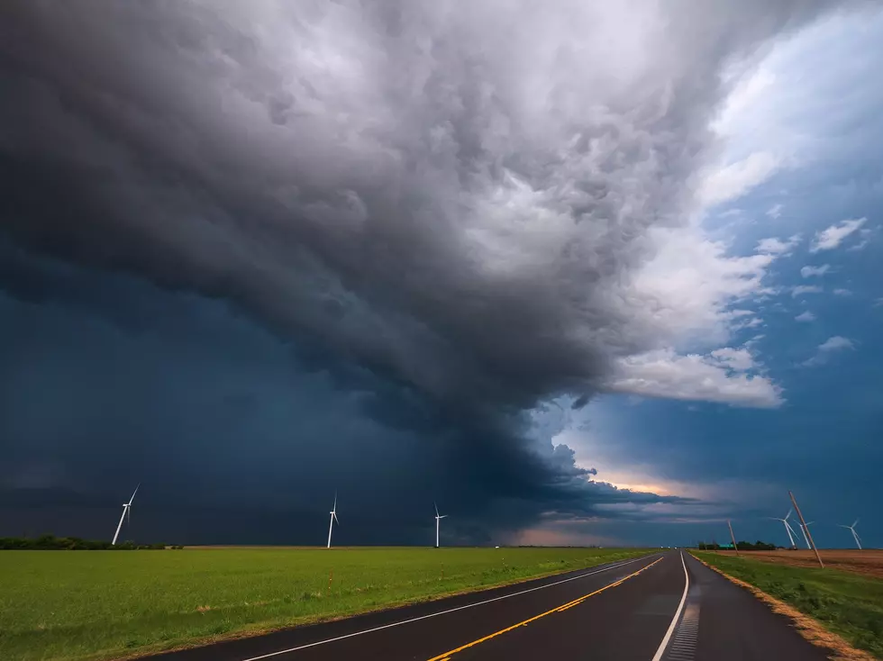
Severe Weather Risks for the South Plains: Everything You Need to Know

Severe weather season is underway! When turbulent weather strikes, Lubbock meteorologists use a lot of terminology to quickly give viewers information on what to expect. However, they rarely have the time to explain what all of these key phrases actually mean.
Having worked as a meteorologist for a decade in a slew of severe weather markets, I can tell you while these phrases may seem trivial, these terms can give you a lot of important information about the forecast and whether or not you can continue about your day or if you should plan to head indoors and stay safe.
Here's what you need to know.
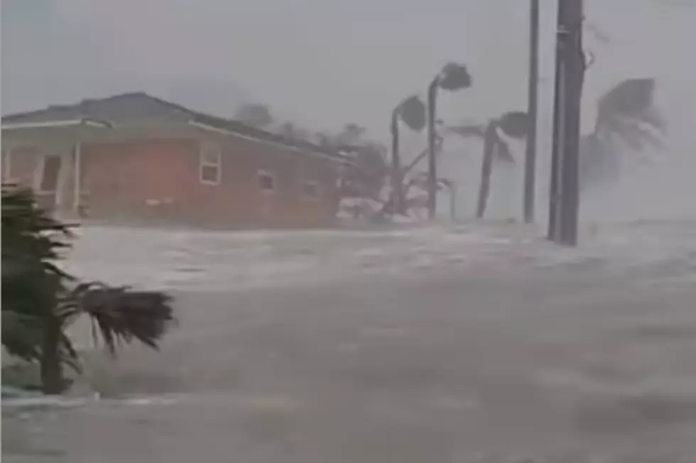
What Makes a Storm Severe?
First and foremost, in order to understand the categories you must know what qualifies as “severe” in the eyes of weather experts. By definition, a thunderstorm is severe when:
- Hail is at least one inch in diameter
- Wind gusts reach at minimum 58 MPH
- There is a threat of a tornado
Storm Prediction Center (SPC) Severe Weather Outlooks
Thunderstorms
The light green color indicates that there are storms possible, but nothing severe is expected. That's not to say that lightning or flooding, both of which can be deadly, are unlikely to occur, but the risk is low for all other threats. These are the types of storms that produce gusty winds and pea-sized hail.
Marginal Risk Category
The Marginal Risk Category is the lowest severe weather classification given by the Storm Prediction Center. If the region is highlighted in this darker green color, it means that there will be isolated severe storms, but they will be short-lived and their intensity will be relatively low.
Slight Risk Category
The Slight Risk Category will be displayed in yellow. Just like with the Marginal Risk, these storms will be short-lived, but their coverage will be more widespread and they are considered organized.
When you hear meteorologists talk about a cold front pushing through the region, there's a higher chance for this level of storm severity.
Enhanced Risk Category
The Enhanced Risk Category will be shown in orange. Coverage will be more extensive and the intensity of these storms will be greater when this storm classification is given. Once you start hearing the mention of this category and above, it's important that you keep a close eye on the forecast and have a plan for when severe storms impact your area. Tornadoes, damaging winds and large hail are much more likely with these storm types.
Moderate Risk Category
These last two categories should warrant great concern for safety. This is made quite clear with the bright color choices. Red signifies a moderate level of severity and will bring a high threat for multiple tornado touchdowns. These will also be long-lived events that can impact a large portion of the population.
Make sure to have an emergency kit prepared and plan to spend the day indoors, if possible.
High Risk Category
A High Risk is the worst of the severe categories and it marked with a hot pink color. This is reserved for the days where an outbreak will be widespread and multiple threats are expected to be occurring simultaneously. Wind gusts will be 75 MPH or greater, hail will be two inches or larger and numerous tornadoes are expected at an EF2 rating or higher. Storm cells will produce long-lived activity and extensive damage is expected.
This is normally only issued a few times a year across the United States when meteorologists have high confidence that a severe event will occur.
Lubbock's Near-Historic 2015 Blizzard
More From Talk 103.9 & 1340